← Back to all posts
Photo 1 · Atlantic Ocean · October 2019
S/V Oroboro GPS track — Equator Crossing — Atlantic — Nov–Dec 2019 • GPS data from Raymarine chartplotter • Map © OpenStreetMap contributors
Photo 2 · Atlantic Ocean · October 2019
Equator — 0° N
Atlantic Ocean, October 2019
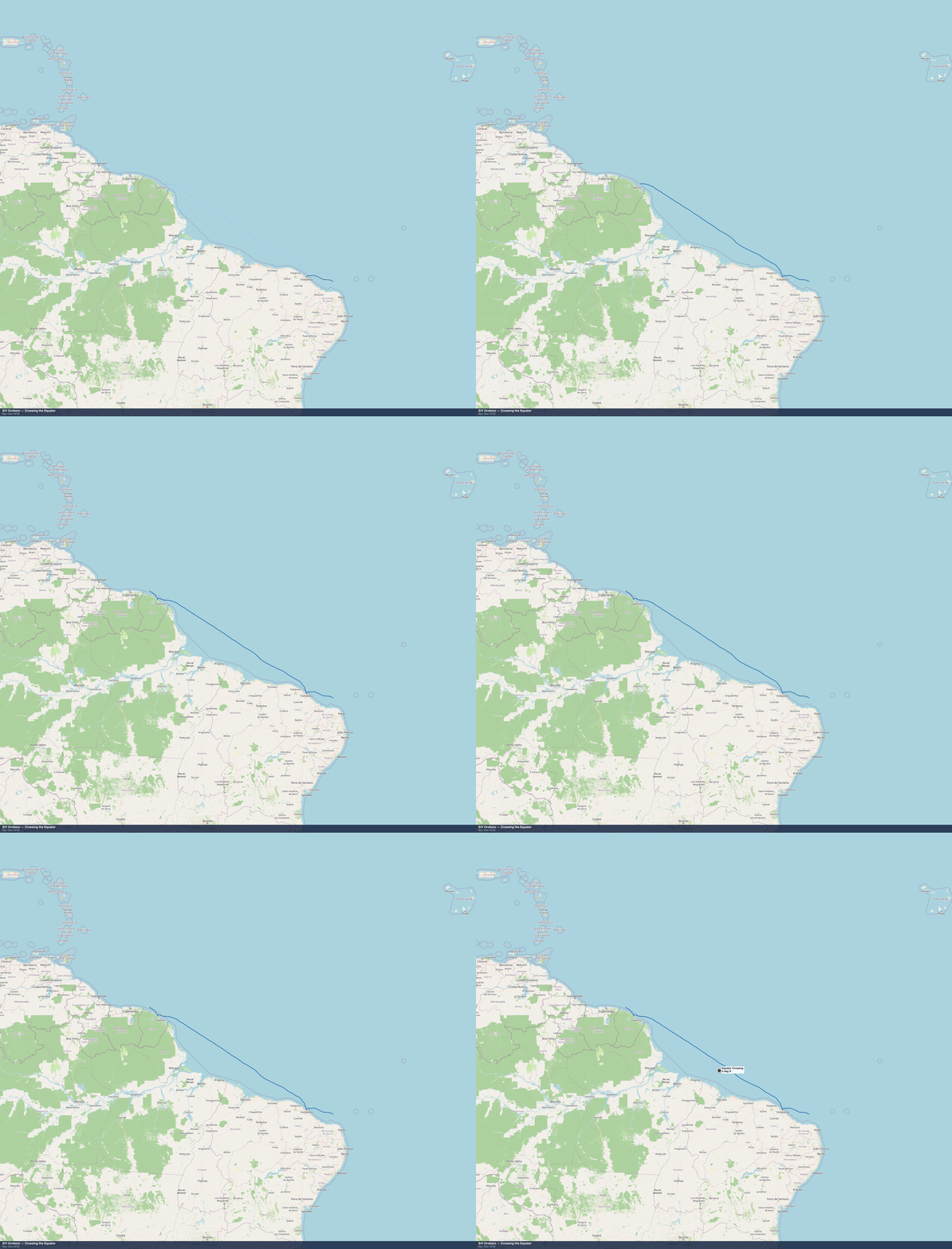
S/V Oroboro GPS track — Equator Crossing — Atlantic — Nov–Dec 2019 • GPS data from Raymarine chartplotter • Map © OpenStreetMap contributors
Every anchorage — Equator Crossing, Nov–Dec 2019
The moment Oroboro crossed into the northern hemisphere for the first time.
| Stop | Date | Notes |
|---|---|---|
| Equator — 0° N | Nov–Dec 2019 | Fortaleza to Kourou · equator crossing ceremony · first time north of the equator |
Anchorage maps
Overview of the equator crossing region between Fortaleza and French Guiana.
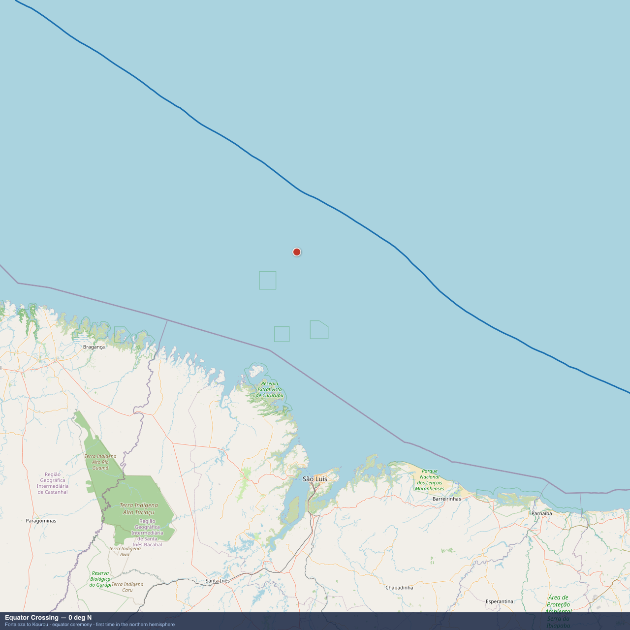
Equator — 0° N
Map data © OpenStreetMap contributors. GPS tracks from Raymarine chartplotter, archived November–December 2019.