Ilha Grande, Brazil, March 2019
After sailing 4,387nm and spending 35 days at sea, Oroboro safely anchored in Ilha Grande, Brazil, on February 1st, 2019.
I felt like the early explorers, and I thought I could name the bay "Baia de Fevereiro" (just like Rio was named Rio de Janeiro because discovered on January 1st). I know... silly thoughts.
The Bay of Ilha Grande is just spectacular, with 365 islands and 2,000 white sandy beaches. Sometimes I feel like being on a lake in Italy, like Lake Como. But the lake is surrounded by a lush tropical forest instead.
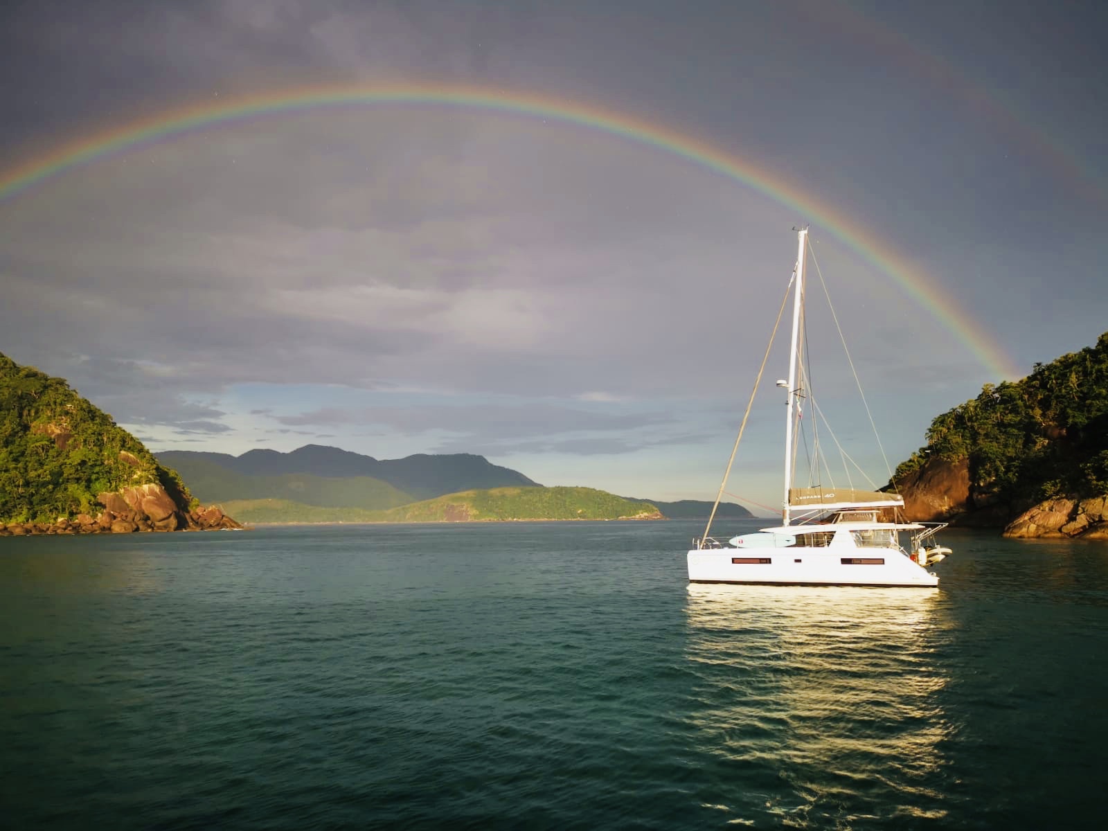
Arriving in Brazil
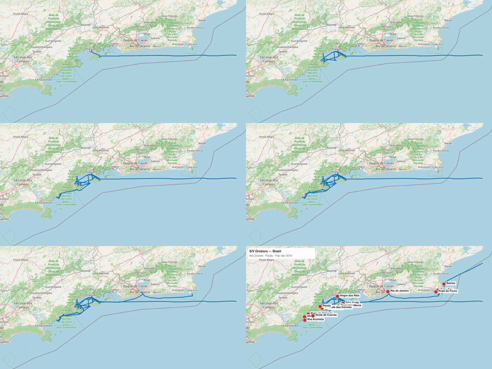
S/V Oroboro GPS track — Ilha Grande & Paraty — February–April 2019 • GPS data from Raymarine chartplotter • Map © OpenStreetMap contributors
What makes Brazil really special is its people. The sound of the language, the kindness, and the smiles! We get around pretty well with our Portuñol (mix of Spanish and Portuguese), since very few people speak English. Funny enough, often times when they say something I don't understand, they turn to Yuka asking to translate it for me. With her tan body and radiant smile, she is often mistaken for a Brazilian.
We checked in Angra dos Reis, named like this because discovered on January 6:
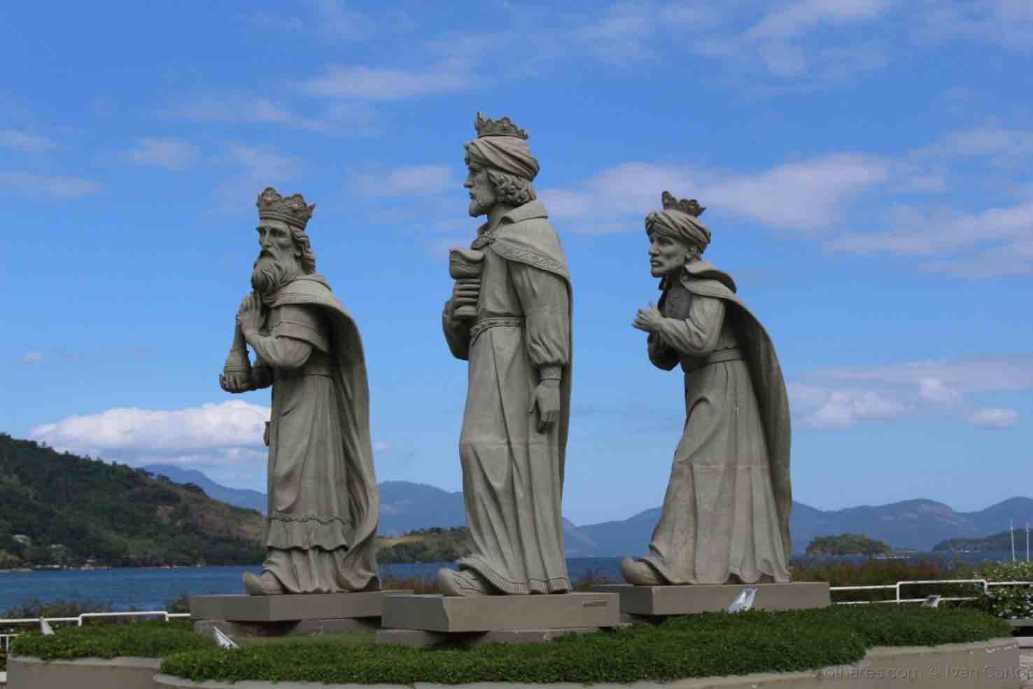
Angra dos Reis
Then we headed to Paraty, one of the maybe 2 most well preserved towns in Brazil to my knowledge (the other one being Ouro Preto).
What-a-town!
Paraty means "river of fish" in the Tupi language. It was founded by the Portugueses in 1667 and when gold was discovered in the mountains of Mina Gerais and the "Caminho do Ouro" (gold trail) connecting the town to Ouro Preto was built, it become the main port for exporting gold to Rio de Janeiro.
Since then, Paraty has been out of the mainstream, which is why it did not change for centuries, until a paved road was built from Rio de Janeiro to Santos in the 1970s. Then from a small and almost abandoned fishing village Paraty become a tourist destination.
The historic downtown is paved with large cobblestones and it's pedestrian only. During spring tides, the seawater level rises and floods the streets through small openings in the seawalls that separate the city from the harbor. The streets are only flooded for a short time, and a few shop owners put out boards to make a bridge for the benefit of pedestrians. Just like in Venice!
The town is full of cafes, restaurants, pousadas (hotels) and nice boutiques. At night, it becomes very lively and you have live music in almost all restaurants and cafes. Bossa nova and samba, of course! There is also a cachaça distillery, a mandatory stop for everyone. Food is just fantastic, with the Moqueca being our favorite dish so far.
We just love this small town and we decided to make it our Head Quarters. From here, we can sail to countless secluded anchorages and deserted beaches, both on the continent and also in Ilha Grande, one of the most pristine and richest ecosystems in the world.
It's a fantastic cruising ground, and we are enjoying it very much. Especially the Admiral:
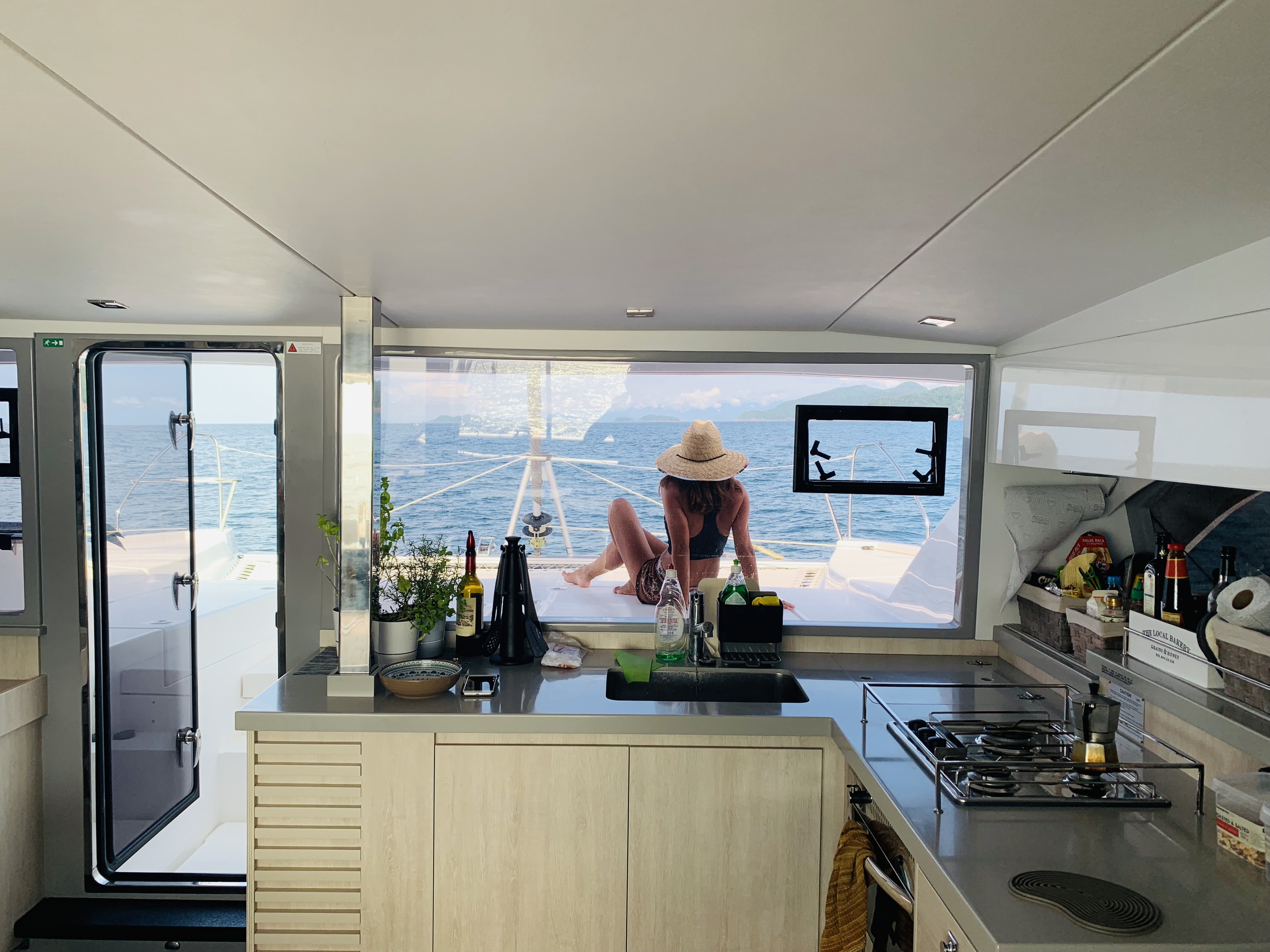
Oroboro galley
Every anchorage — Ilha Grande & Paraty, February–April 2019
We stayed in this area for almost three months, making it our cruising home base before heading north toward Rio, Búzios, and eventually 4,000nm of Brazilian coastline. Below is a complete record of every stop, with GPS-mapped detail for each anchorage.
| Stop | Date | Notes |
|---|---|---|
| Ilha Grande bay | Feb 1, 2019 | Landfall after 35 days, 4,387nm from Cape Town |
| Angra dos Reis | Feb 2 | Customs check-in |
| Sítio Forte (Ilha Grande) | Early Feb | First anchorage; Thelma called on VHF offering fish lasagna |
| Abraão (Ilha Grande) | Feb | Only village on the island; no cars, no roads |
| Praia dos Meros (Ilha Grande) | Feb–Mar | The opera singer night |
| Mamanguá | Feb–Mar | Tropical fjord, 8km long |
| Saco do Céu | Feb–Mar | “Bag of the Sky” |
| Enseada das Estrelas | Feb–Mar | “Bay of the Stars” |
| Paraty | Feb–Apr | HQ for 2 months; cobblestone streets flood at spring tides (like Venice) |
| Praia do Sobrado (near Ubatuba) | ~Apr 7 | Overnight stop; beautiful rainbow |
| Ubatuba | Apr 8 | Crossed Tropic of Capricorn on foot |
| Ilha Anchieta | Apr | Former Brazilian Alcatraz; WWII Japanese prisoners; beautiful beach anchorage |
| Ilhote de Couves | Apr | Storm refuge; 26 knots; waited for cold front |
| Rio de Janeiro — Marina de Glória | Mar–Apr | 2 weeks; Carnival; met Alex Thomson (Hugo Boss IMOCA) |
| Cabo Frio | Apr | Entered via Boqueirão passage |
| Praia do Forno | Apr | Cabo Frio area |
| Búzios — Praia dos Ossos | Apr | Brigitte Bardot statue; Yuka PADI dive course |
Anchorage maps
Every anchorage, zoomed in — GPS track from our Raymarine chartplotter overlaid on OpenStreetMap.
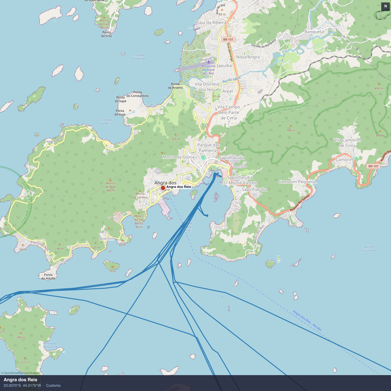
Angra dos Reis — customs check-in
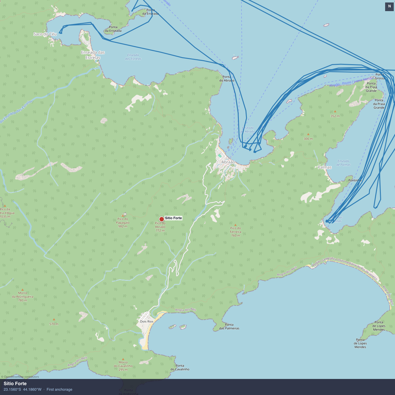
Sítio Forte, Ilha Grande — first anchorage in Brazil
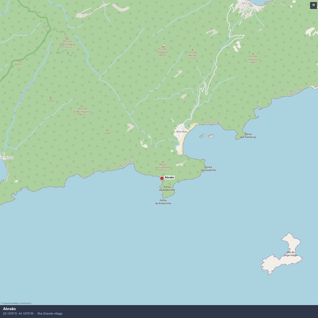
Abraão, Ilha Grande — the only village, no cars
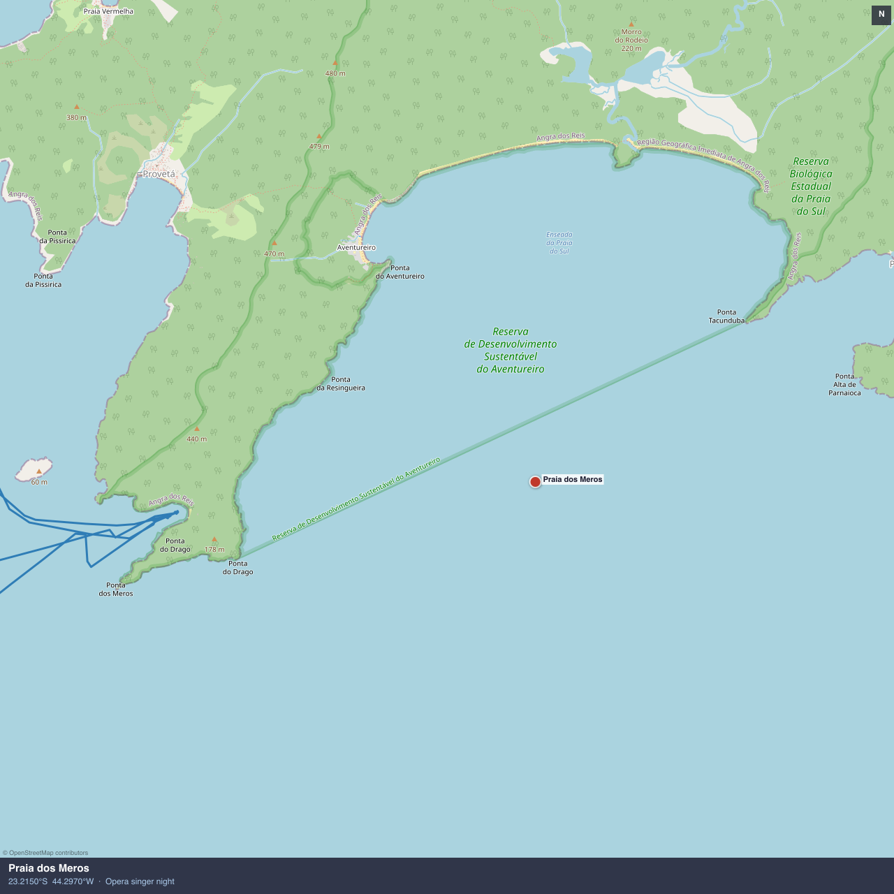
Praia dos Meros — the opera singer night
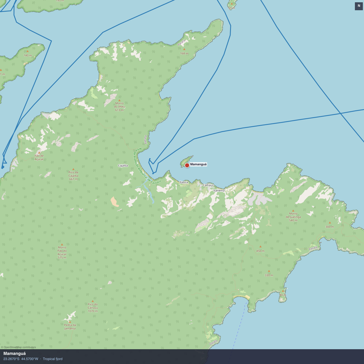
Mamanguá — tropical fjord, 8km long
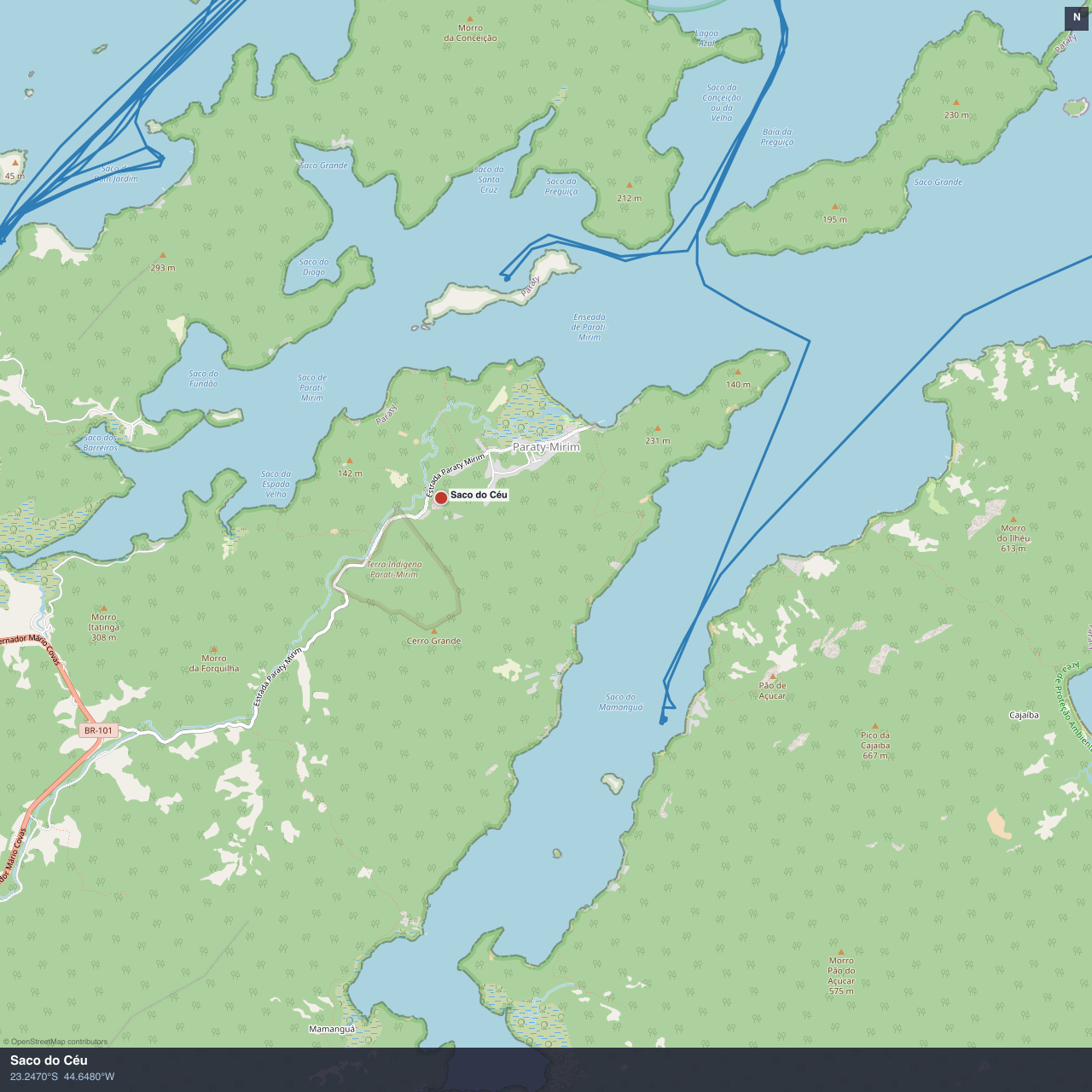
Saco do Céu — “Bag of the Sky”
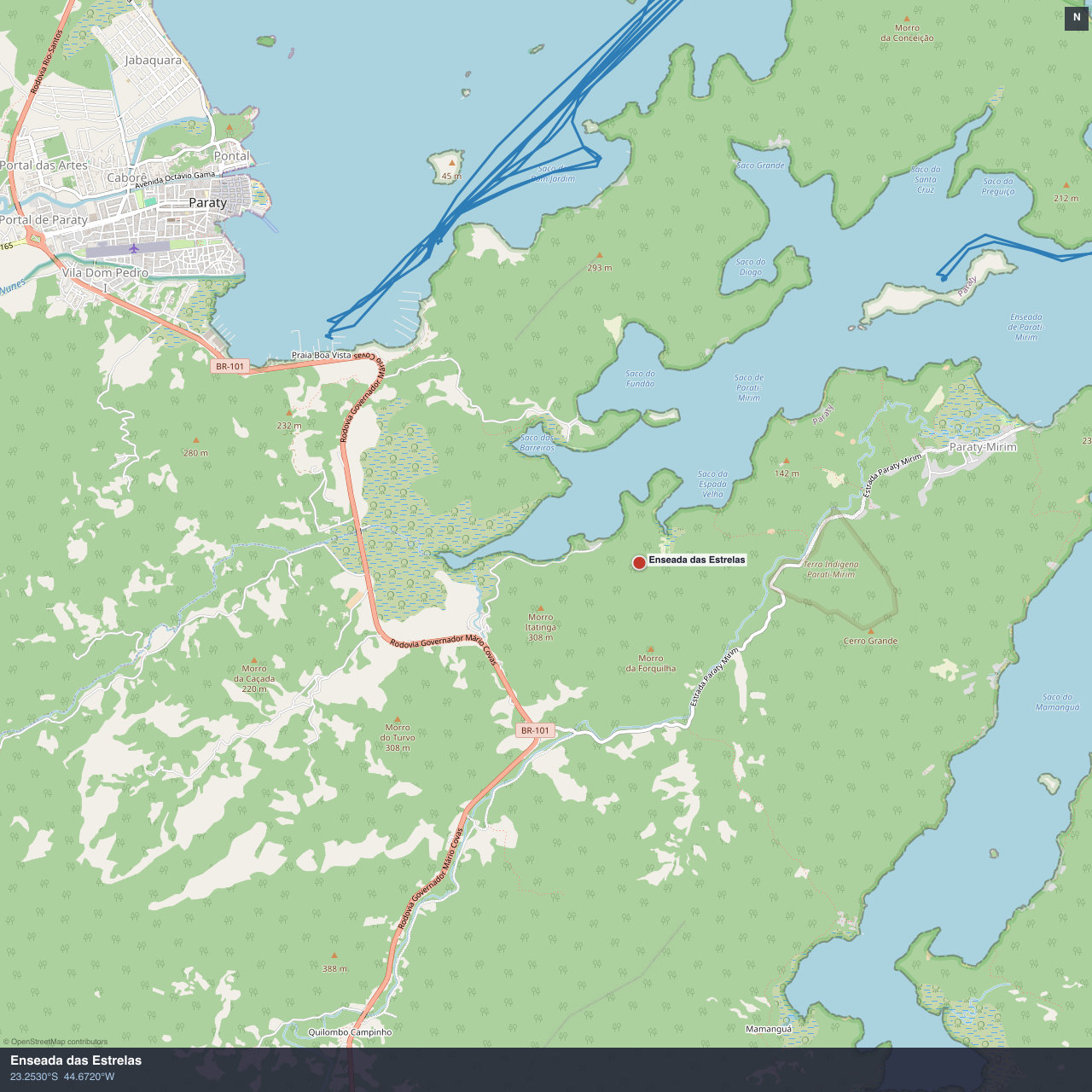
Enseada das Estrelas — “Bay of the Stars”
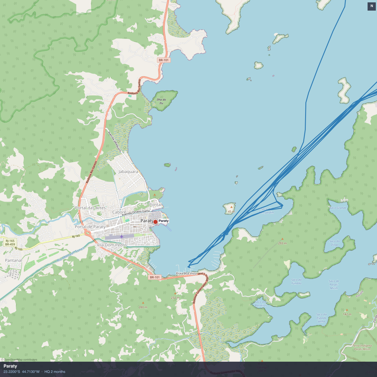
Paraty — our HQ for two months
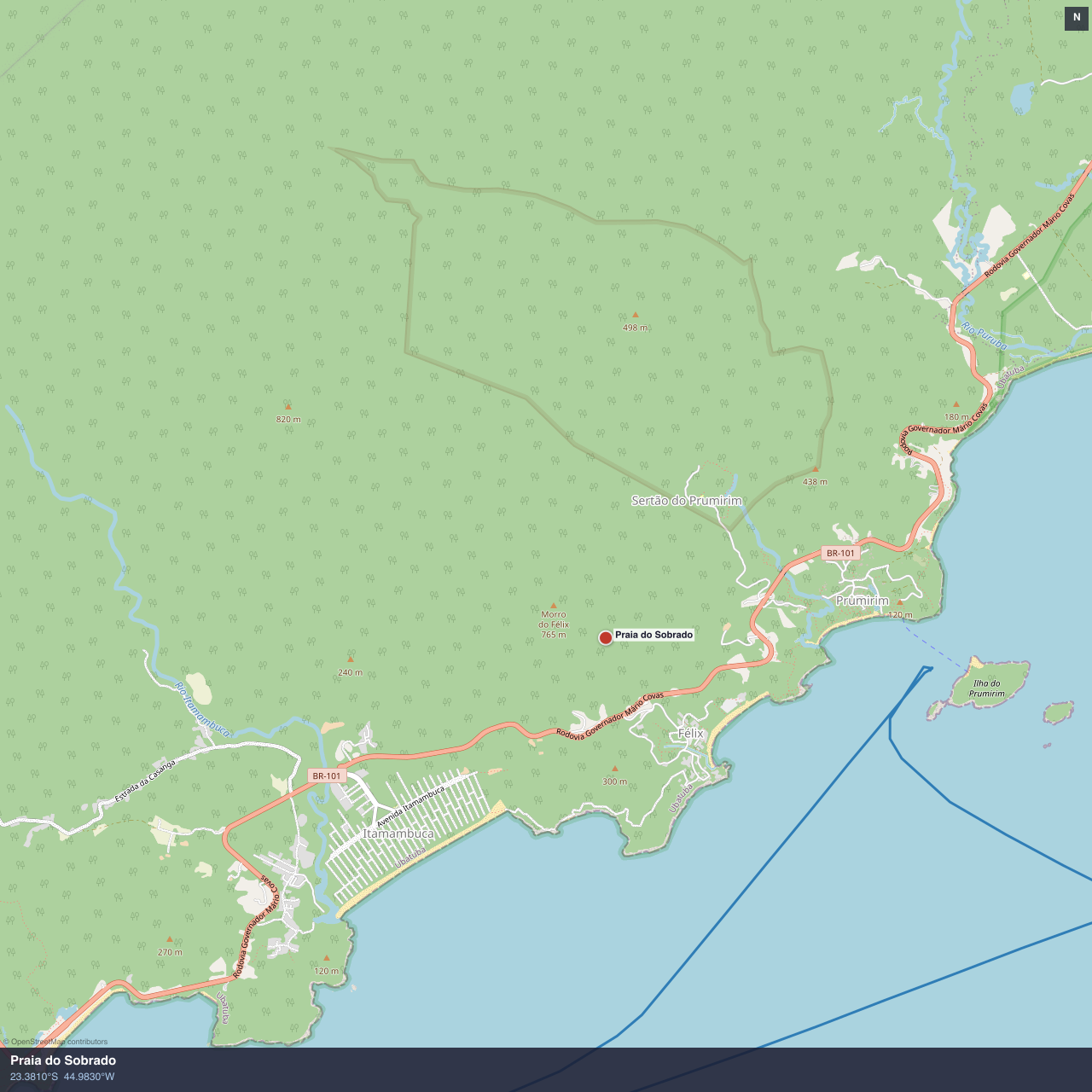
Praia do Sobrado — overnight stop south of Ubatuba
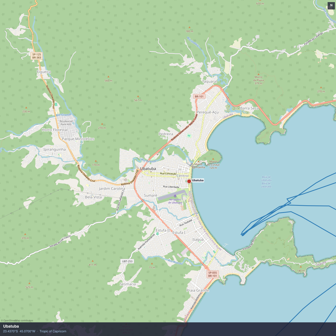
Ubatuba — Tropic of Capricorn; Ilha Anchieta nearby
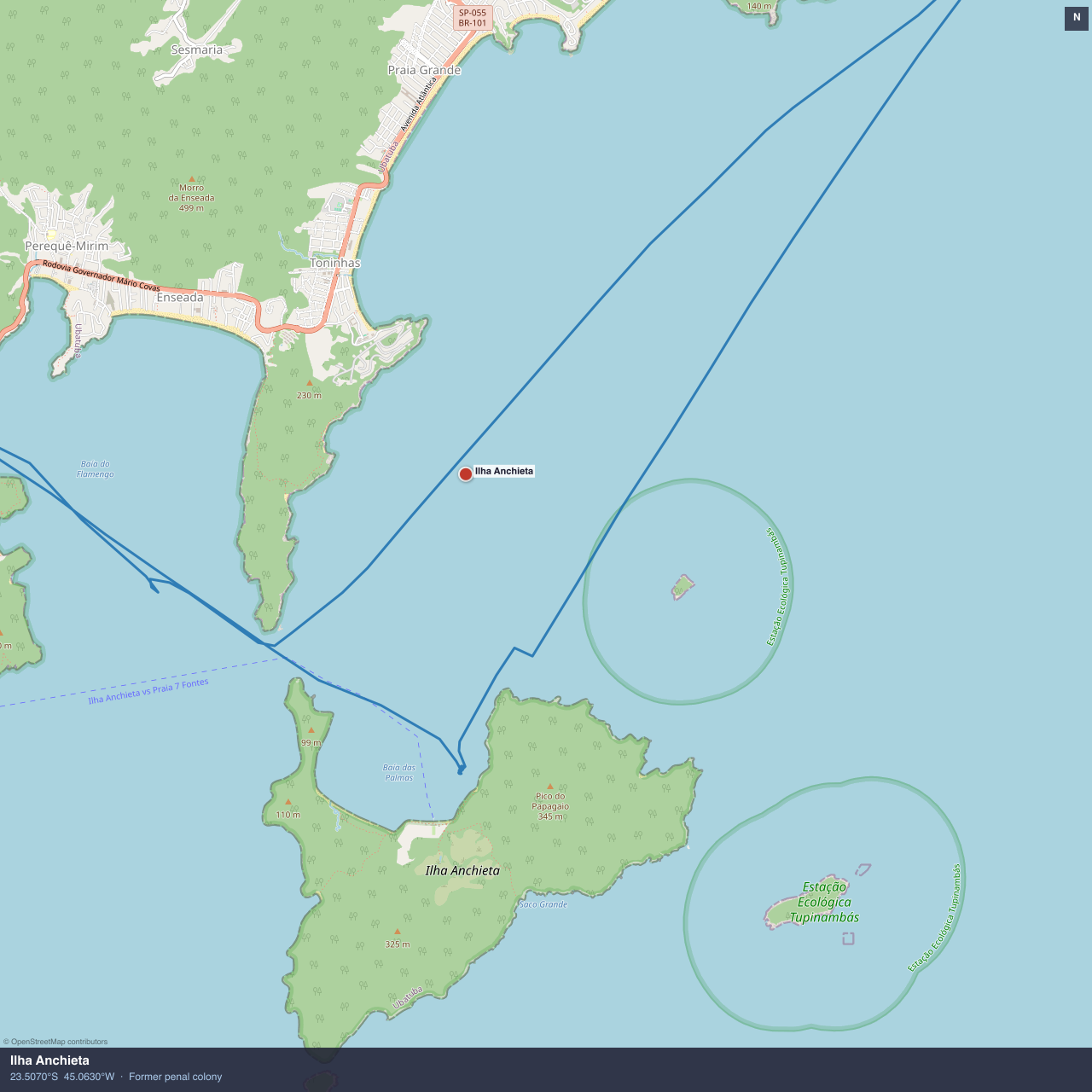
Ilha Anchieta — Brazil's Alcatraz; beautiful beach anchorage
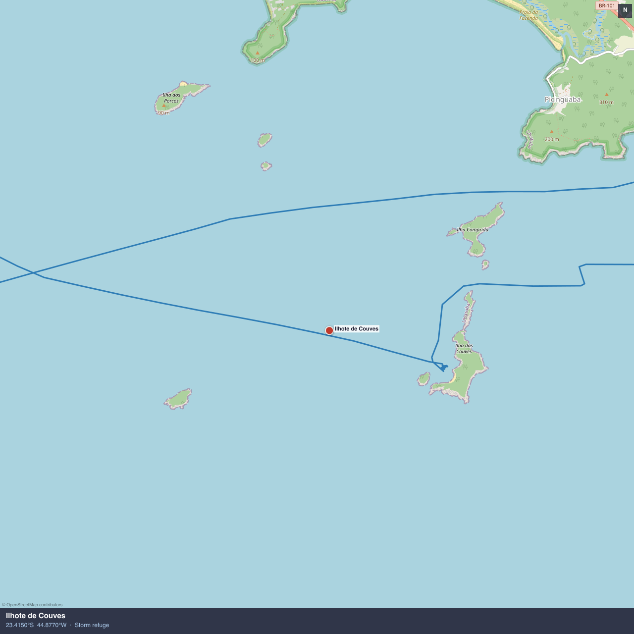
Ilhote de Couves — storm refuge, 26 knots
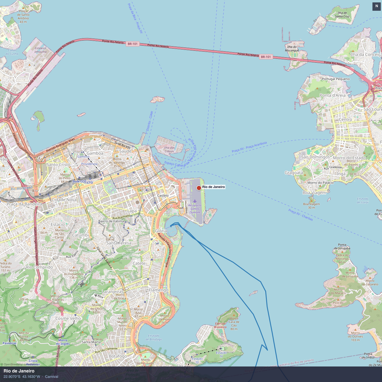
Rio de Janeiro, Marina de Glória — Carnival & Alex Thomson
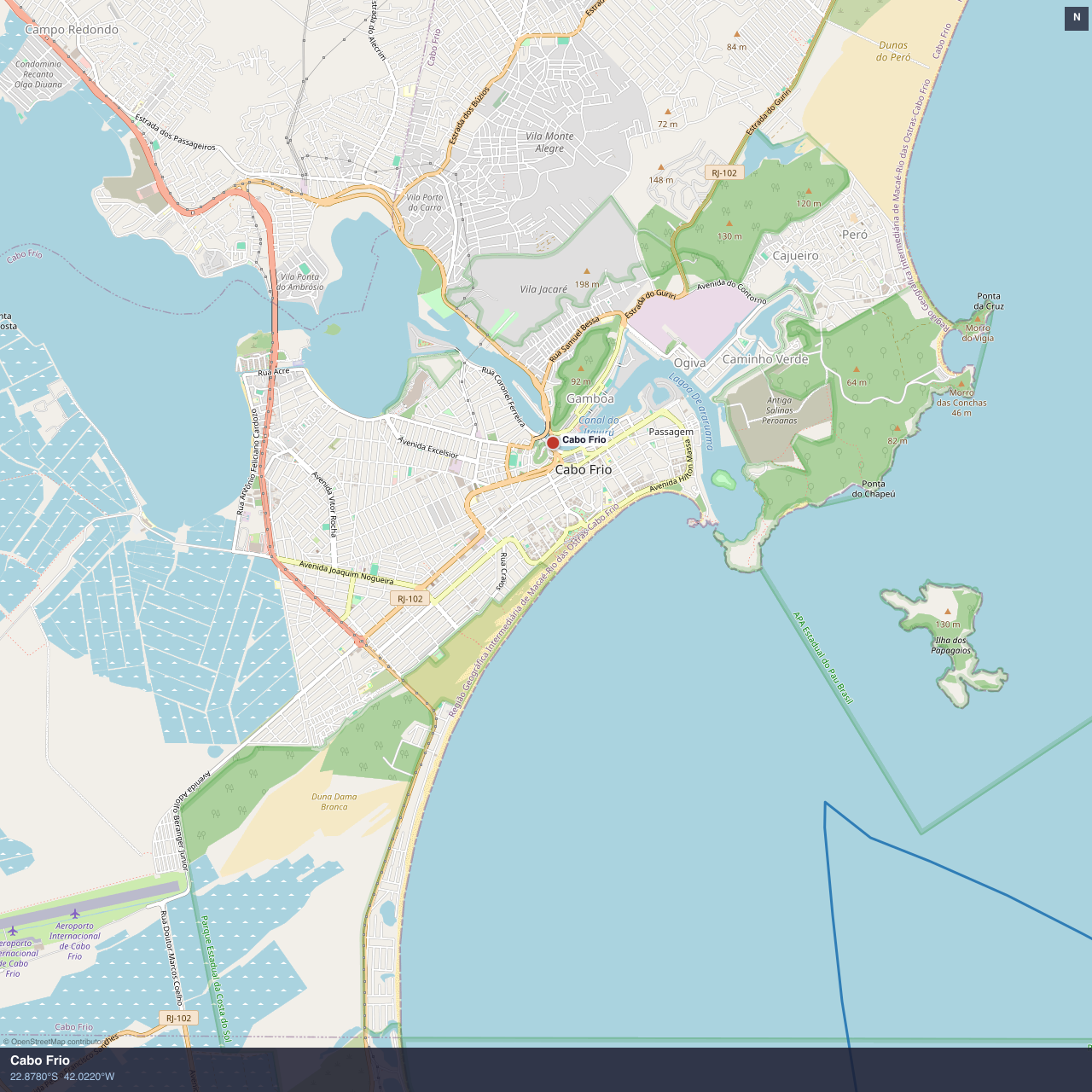
Cabo Frio — via Boqueirão passage
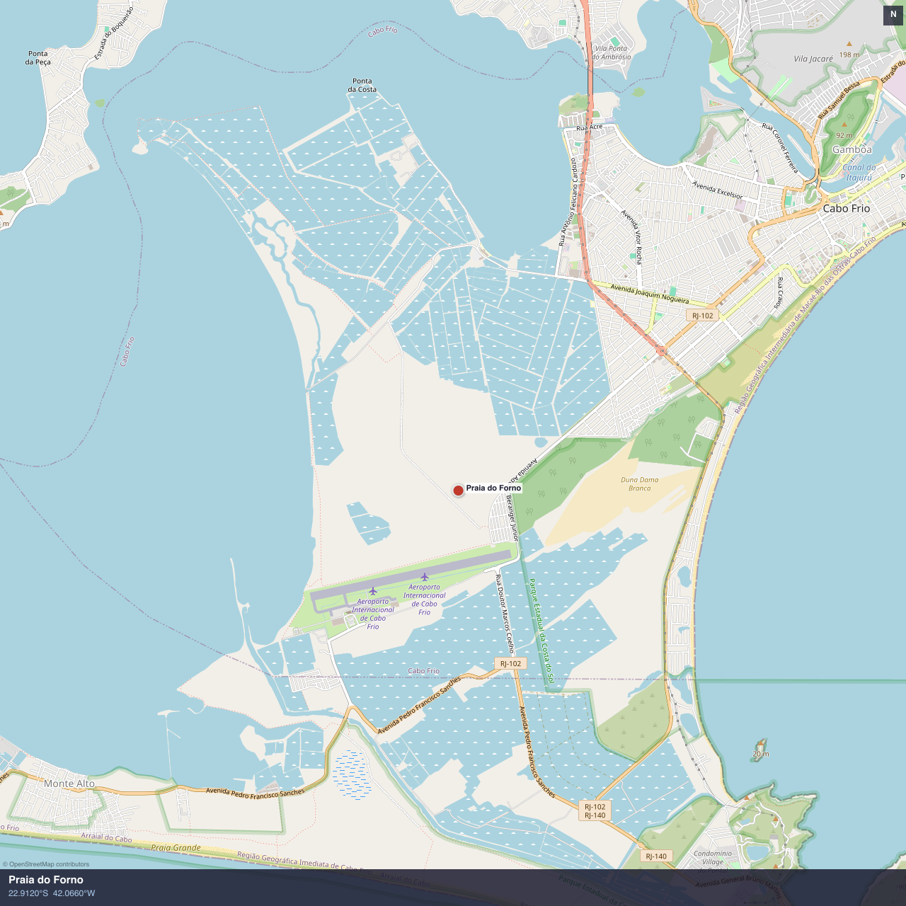
Praia do Forno, Cabo Frio area
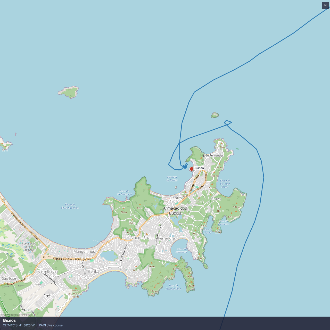
Búzios, Praia dos Ossos — Brigitte Bardot & PADI dive course
Map data © OpenStreetMap contributors. GPS tracks from Raymarine chartplotter, archived May 2019.
More to follow on Ilha Grande in the next posts. Stay tuned!